|
History and location of the Blakely
Burl Tree
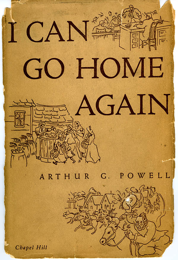
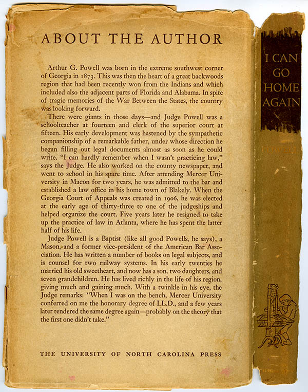
Arthur G. Powell wrote a book in 1943, titled: " I Can Go Home Again"
The book is about his early life, upbringing and involvements with Early County,
GA, and his life in Blakely.
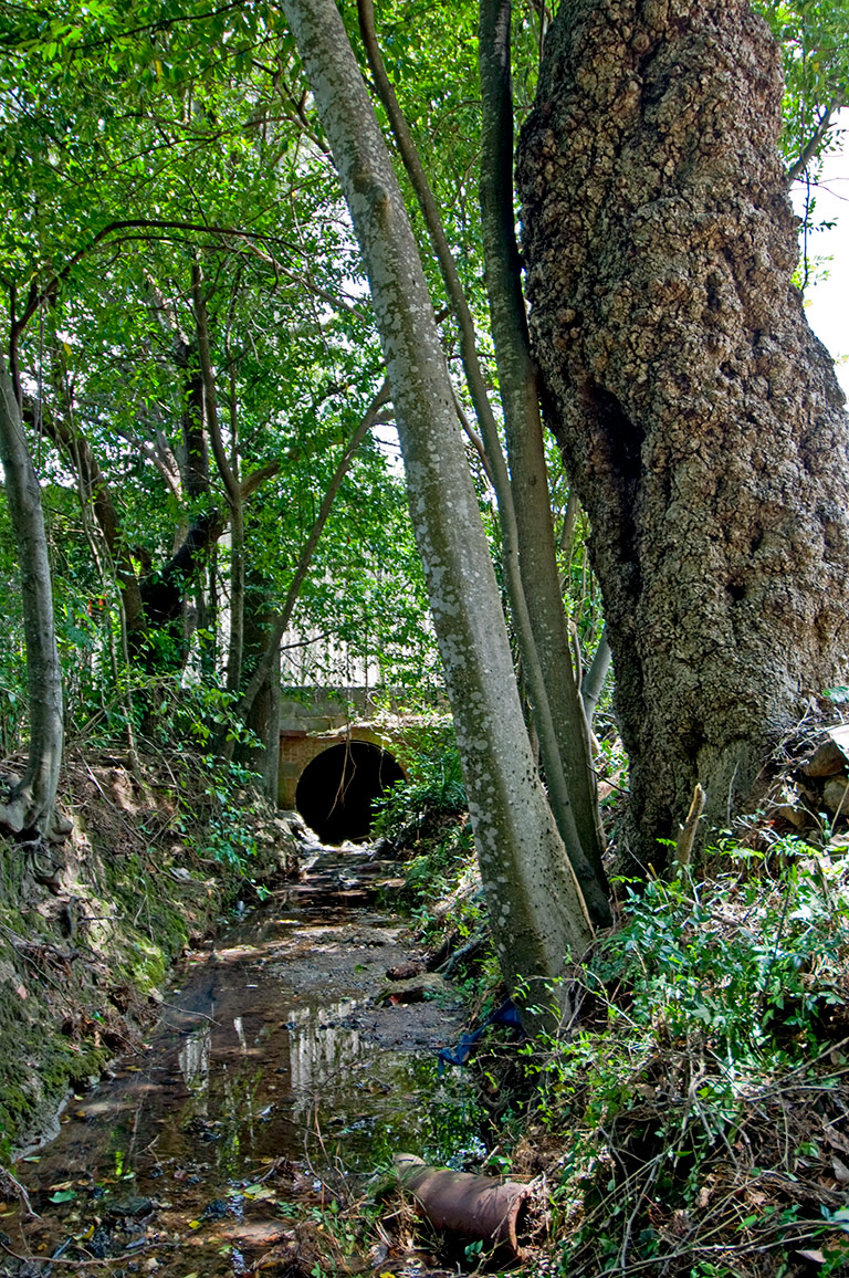
In the book, Powell describes a lot of Blakely history and speaks of a "Big
Ditch" that he remembered as a
landmark from his youth. I began studying the location first from reading
his book, given to me me by my wife Kathy,
who serendipitously found it in a used books for sale bin at the Tallahassee
Florida, library. I was amazed to read his descriptions.
EXCERPTS from Arthur G. Powell's " I Can Go Home Again"
|
page 15:
Though Blakely is near the crest of a
watershed, the water on the west side flowing to the Chattahoochee
River and that on the east side to the Flint, the ground on which it
stands is nearly level. Its physical landmarks in my boyhood, were
the Baptist Branch, the Tanyard Branch, and the
Big Ditch.
page 17:
The
Big Ditch was
our chief drainage facility. It started in the western part of the
town, south of Howard Landing Road, but turned and crossed that road
just east of Line Street, angled across Line Street not far south of
our home, crossed Fort Gaines Road, between our home and the Square,
continued northeast till it crossed Cuthbert Road, and then lost
itself in the swamp that lay in the eastern part of the town. It was
fed by a small spring and there was nearly always water in it; and
how we children used to love to play in it.
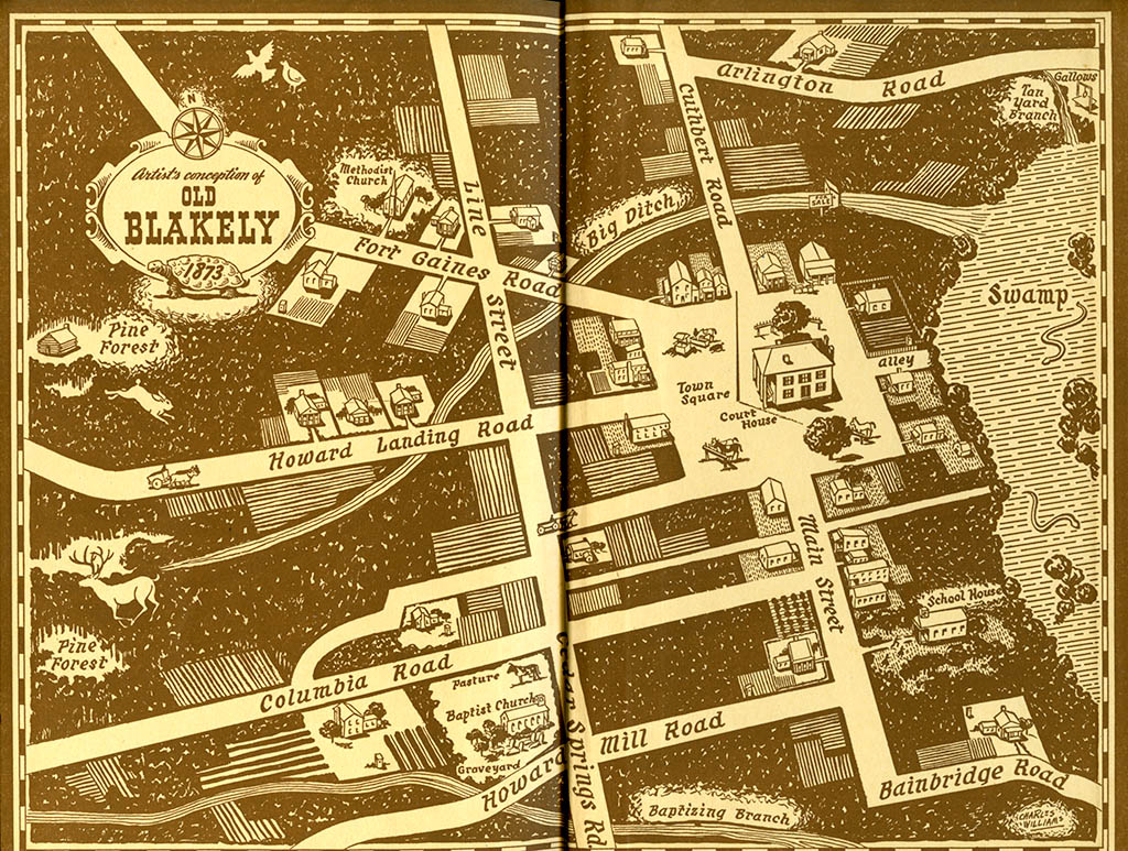
page 13:
Out of the middle of the north side of the
square ran the Cuthbert Road (now Cuthbert Street); out of the
northwest corner, Fort Gaines Road (now College Street); out of the
middle on the west side, Howard Landing Road (now River Street); out
of the middle of the south side, Bainbridge Road (also called Main
Street, till it made the turn westward near the town limit); and
there was an alley in the middle of the east side. The reason why
there were no roads leading to the eastward was that a dense swamp
or hammock came up almost to the square on that side. The Arlington
Road, which also led to Morgan and Albany, turned off the Cuthbert
Road near the northern limits of the city. The Bainbridge Road was
also the road to Colquitt. The Columbia Road (now Columbia Avenue)
leading toward Columbia and other points in Alabama, came into the
Bainbridge Road about 200 yards south of the square. The Cedar
Springs Road came into Line Street (now Church street) which ran
along an original land-lot line from the Negro Methodist Church at
the northern limits of the town to the white Baptist church on the
south side; and the Sheffield Mill Road came into the Cedar Springs
Road just below the Baptist Church. Our home was at the corner of
Line Street and of Fort Gaines Road, about 200 yards from the
square.
page 22:
The conditions I have spoken of were those
that existed in the pioneer days of this town and this people in the
early seventies, about seventy years ago. Nowadays, when I go back
to Blakely, the Blakely of beautiful homes, brick buildings, neatly
parked courthouse square, even a streamlined modern jail, and other
marks of culture and progress, it is hard for me to believe that
this is the same spot I once knew; but the Baptist Branch, the
Tanyard Branch, and vestiges of the
Big Ditch are
still there to assure me that it is. |
Kathy and I began next,
researching the tree location with Google Maps, and found that the street names
had changed,
and began cross-referencing the old names with the new names and comparing to
the current Google map.
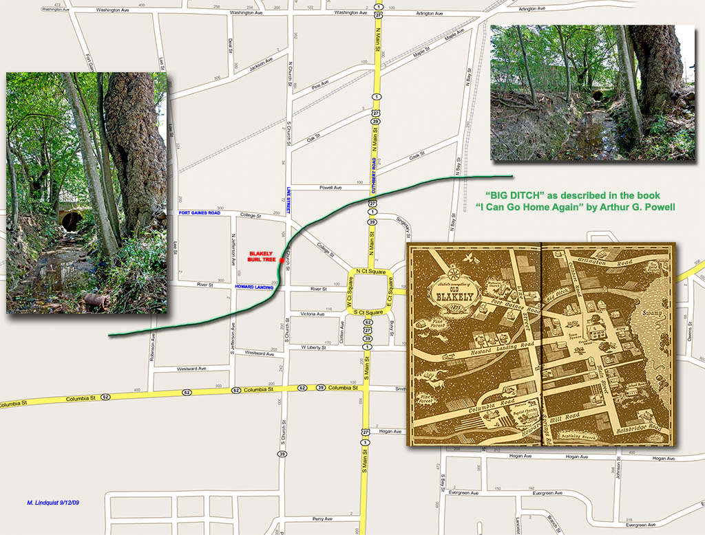
It turned out that the
location of the ditch in the description closely matched the location in the
current day Google Map.
After several hours of cross-referencing and comparing, I noticed that there was
a map on the inside cover of Powell's book.
The old Fort Gaines
Road is now College Street. The old Line Street is now Church
Street.
The old Howard Landing is now River St. The old Cuthbert Road is now Main
Street.
So Powell's description of the
landmark, "the big ditch" from the 1870's is the same one he wrote about in
1943,
and that we are involved with today. We can only wonder if the Blakely
Burl Tree was a young shoot or sapling
growing in the side of that ditch during that time.
About Arthur G. Powell's " I
Can Go Home Again"
Front Dust Jacket Cover
Back Dust Jacket Cover
(Insides) Dust Jacket
NEXT >>>
Photos: Mark Lindquist | Lindquist Studios 2009
|
